- What Are Drone Inspections?
- Where Maintenance Teams Use Inspections by Drone
- Why Drone Inspections Matter for Maintenance
- Challenges Maintenance Leaders Should Consider
- What to Look for in a Drone Inspection System
- Drone Inspection Software and Systems to Consider
- How to Choose the Right Drone Inspection Solution
- Drone Inspections and Predictive Maintenance
- Treat Drone Inspection as a Maintenance System
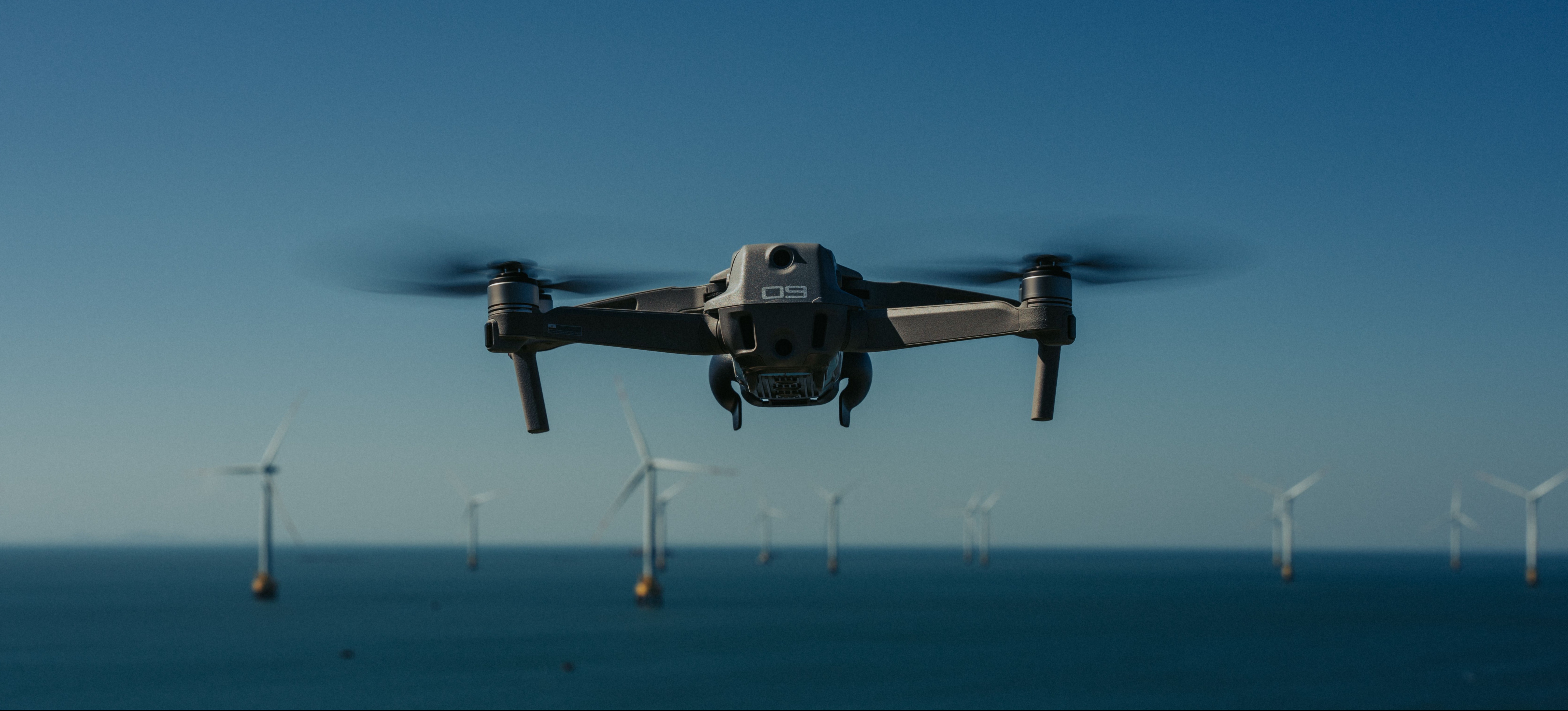
For maintenance teams, inspecting hard-to-reach assets can be expensive, disruptive, and sometimes hazardous. Drone inspections provide another way to collect condition data without relying on manual access for every visual check.
Today, inspections by drone can go well beyond taking aerial photos. Maintenance teams can combine drones with thermal cameras, automated flight planning, visual inspection software, AI-assisted analysis, and asset management workflows. The result can be a more repeatable way to monitor infrastructure and identify conditions that deserve closer attention.
The challenge is choosing the right approach. A drone is only one part of an effective inspection program.
What Are Drone Inspections?
A drone inspection uses an unmanned aerial system to collect visual or sensor data about an asset. Depending on the application, the drone may carry a standard camera, thermal camera, multispectral sensor, LiDAR system, or another specialized payload.
A basic drone inspection may involve a pilot manually capturing images of a roof or tower. More advanced programs use predefined flight paths so the same asset can be inspected from similar positions at regular intervals.
After the flight, software becomes important. Images must be organized, analyzed, compared, and converted into findings that maintenance teams can act on.
A mature workflow typically moves from flight planning and data capture to analysis, reporting, and maintenance action. The objective is not simply to collect more imagery. It is to create useful information about asset conditions.
Where Maintenance Teams Use Inspections by Drone
Drone inspections are particularly useful where conventional inspections require difficult access.
Facilities teams can use aerial imagery to examine roofs, façades, elevated structures, and other building components. Utility operators can collect data from power lines, poles, towers, and substations. Renewable energy teams can inspect wind turbines and solar installations across large geographic areas.
Industrial organizations can also use drones around tanks, stacks, pipelines, bridges, and other critical infrastructure. In these environments, reducing the number of routine inspections that require workers to enter difficult locations can be valuable.
The technology does not eliminate the need for hands-on inspection. Instead, it can help teams identify where closer investigation is justified.
Why Drone Inspections Matter for Maintenance
One of the clearest benefits is access. A drone can observe elevated or remote areas while keeping inspectors at a distance from the asset.
That can also reduce some of the logistical work involved in condition monitoring. Depending on the asset, conventional inspection may require lifts, scaffolding, access planning, or temporary closures. Remote inspection can make initial assessment more efficient.
Repeatability is another important advantage. When teams standardize flight routes and image capture, they can build a visual history of the same asset.
That history becomes especially useful when maintenance leaders need to distinguish between a condition that has remained stable and one that is becoming progressively worse.
The longer-term value comes from connecting inspection findings to maintenance decisions. Images of corrosion, cracking, heat anomalies, damaged components, or other conditions are much more useful when the findings can be associated with an asset record and followed through to corrective action.
Challenges Maintenance Leaders Should Consider
Drone programs introduce their own operational requirements.
Flight regulations, restricted airspace, site rules, weather, and operator competency can all affect when inspections can be performed. Organizations operating in the United States, for example, need to consider the Federal Aviation Administration's requirements for commercial small unmanned aircraft operations. Requirements differ by country and operating scenario.
Data management can become another challenge. A single inspection can create hundreds or thousands of images. Without a clear system for organizing findings by asset, date, location, and defect type, maintenance teams can simply replace a physical inspection problem with a data-management problem.
Integration also deserves attention. If inspection findings stay isolated in drone software, maintenance planners may still need to manually recreate the issue inside a CMMS, EAM, GIS, or other operational system.
What to Look for in a Drone Inspection System
Start with the maintenance problem rather than the aircraft.
A team inspecting building roofs may need straightforward visual documentation and reporting. A utility inspecting thousands of assets may need automated missions, AI-assisted fault identification, and strong geospatial capabilities. An industrial organization may care more about combining current imagery with historical inspection records.
Look at how well the system supports repeatable data capture, visual and thermal analysis, asset-level organization, reporting, integrations, and multi-site management.
Automation is another important distinction. Some platforms focus primarily on processing captured data. Others can orchestrate drones, docking stations, remote missions, and recurring inspections.
The right system should fit the workflow from inspection to maintenance action, not just the flight itself.
Drone Inspection Software and Systems to Consider
Several platforms approach the drone inspection process from different directions. For maintenance leaders, the useful comparison is not simply which product has the most features. It is which part of the inspection workflow each system is designed to solve.
DroneDeploy
DroneDeploy combines drone capture with broader reality-capture capabilities, including aerial imagery, 360-degree documentation, mapping, 2D and 3D visual data, robotics, and AI-assisted analysis. Its current platform also positions visual data as a way to identify quality and asset issues such as rust, leaks, and debris.
This makes DroneDeploy relevant when maintenance or facility teams want more than a standalone flight application. Organizations can build a broader visual record of sites and assets while using one environment for multiple forms of field capture.
Best for and watchouts: DroneDeploy is best suited to organizations that want a broad reality-capture platform across facilities, construction, energy, utilities, or other asset-heavy environments. Teams with highly specialized engineering inspection requirements should confirm that its analytics and reporting workflows provide enough asset-specific depth.
FlytBase
FlytBase takes a more automation-focused approach. It is designed around autonomous drone operations, including drones, docking stations, sensors, cameras, and multi-site deployments. Its platform supports inspection use cases across areas such as oil and gas, solar energy, utilities, mining, transportation, and data centers.
For maintenance organizations, the distinguishing feature is repeatability. Instead of dispatching a pilot for every routine flight, teams can build scheduled or remotely managed inspection operations.
FlytBase also emphasizes integration with existing enterprise systems, including asset and geospatial platforms.
Best for and watchouts: FlytBase is best for organizations planning recurring autonomous inspections across large sites or multiple locations. The platform may be more infrastructure than necessary for teams that conduct only occasional, manually piloted inspections.
Optelos
Optelos is positioned around visual inspection data management and computer vision. The platform is designed to consolidate inspection imagery and turn visual data into structured information that asset-intensive organizations can use for reporting and decision-making.
Its approach can be useful where imagery comes from several sources, including drones, and maintenance teams need a consistent process for identifying and tracking anomalies.
The platform's emphasis on computer vision also makes it relevant to organizations exploring AI-assisted inspection at scale.
Best for and watchouts: Optelos is best for asset-intensive organizations that want to make visual inspection data part of a broader asset intelligence workflow. Smaller programs with simple image capture and reporting needs may find that they do not require this level of visual data management.
ArcGIS Drone2Map
ArcGIS Drone2Map focuses on converting drone imagery into usable geospatial products. It can process natural-color, thermal infrared, and multispectral imagery and generate outputs such as orthophotos, 3D point clouds, and textured meshes. The product also includes inspection and measurement capabilities within the wider ArcGIS environment.
This creates an advantage for organizations already using GIS to manage facilities, utilities, infrastructure, or geographically distributed assets.
Inspection data can be analyzed in spatial context rather than treated as an isolated collection of drone photographs.
Best for and watchouts: ArcGIS Drone2Map is best for maintenance and infrastructure teams that already depend heavily on GIS or need precise mapping and geospatial analysis. Organizations primarily looking for automated defect-management workflows may need additional systems around it.
UgCS
UgCS is oriented toward mission planning and drone flight control. It supports planning and managing UAV flights and can be paired with specialized payloads and sensors for more advanced data-collection scenarios. The platform appears among current drone analytics software options used for flight planning and industrial applications.
For maintenance teams, its value lies primarily at the data-capture stage. Complex assets may require carefully defined flight paths, terrain following, sensor integration, or consistent repeated routes.
Best for and watchouts: UgCS is best for organizations that need stronger control over flight planning and specialized inspection missions. Teams looking for an end-to-end defect management and maintenance reporting platform will likely need complementary analytics or asset-management software.
How to Choose the Right Drone Inspection Solution
Before comparing vendors, define what the inspection program must accomplish.
Start with the asset and its likely failure modes. Determine what inspectors need to see, how often they need to see it, and what type of sensor can provide the required evidence.
Next, define how much automation is necessary. A quarterly roof inspection may not require autonomous docking infrastructure. A utility or industrial site running inspections every day may benefit significantly from repeatable automated missions.
Then map what happens after a defect is identified.
A strong workflow might move from the drone to an inspection platform, then into an asset record and finally into a CMMS or EAM work order. This connection matters because maintenance teams ultimately need to repair, monitor, or defer the issue.
A focused pilot can help test that complete process. Evaluate not only flight time, but also data quality, analysis effort, inspection consistency, actionable findings, and the effort required to turn those findings into maintenance work.
Drone Inspections and Predictive Maintenance
When teams conduct consistent inspections over time, they can compare visual and thermal information across multiple periods. Software can help organize that history and identify changes that deserve attention.
AI and computer vision can further reduce the amount of imagery that inspectors need to review manually. The goal should not be to remove maintenance expertise from the process. It should be to help specialists direct their attention toward the assets and conditions most likely to require action.
This is where drone inspection begins to support a more condition-based maintenance strategy.
Treat Drone Inspection as a Maintenance System
The business case for drone inspections should not end with buying an aircraft.
Useful inspections by drone depend on the complete workflow: safe data capture, repeatable missions, organized inspection records, meaningful analysis, asset context, and a clear path to maintenance action.
For maintenance leaders, the best place to start is a specific inspection problem with measurable operational value. Choose the technology around that workflow, then expand once the organization can consistently convert aerial data into better maintenance decisions.